×
Peru Digital Platform, The World Bank (Draft)
All
Environmental
Social
Economic
Climate
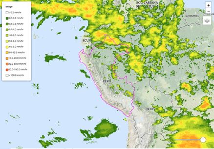
Water
Disasters
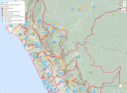
World Bank Projects
Peru Development Data
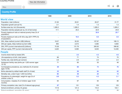
Peru at a Glance
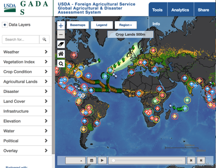
GADAS (Agr)
FAOSTAT
Google DataSearch
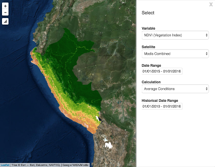
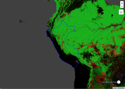
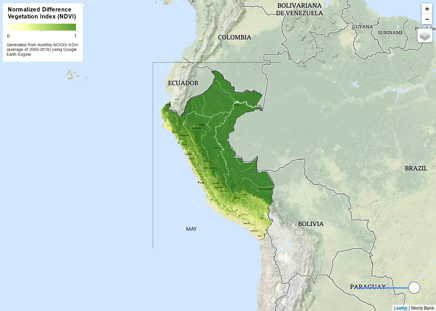
Landsat Vegetation Analysis
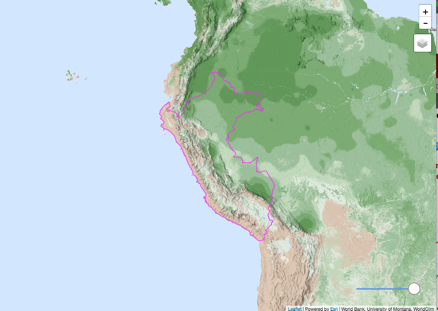
Biomes
Biomass
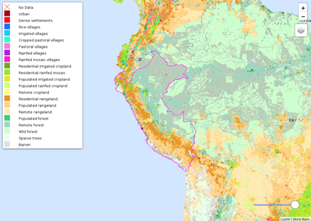
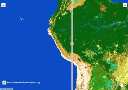
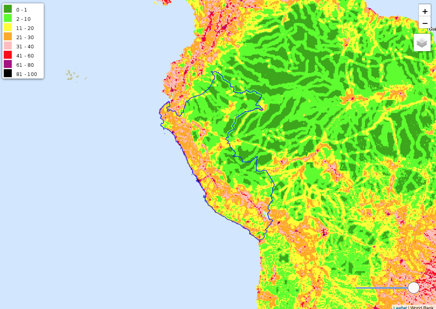
Land Cover Changes
Earth Engine Calculation
Protected Areas
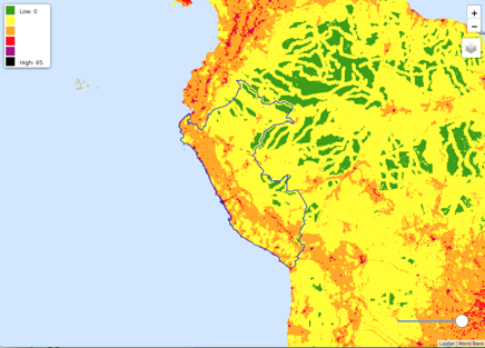
Forest Loss/Extent/Gain
Human Footprint
Human Influence Index
Air Quality
Winds
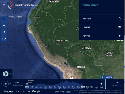
Fishing Watch
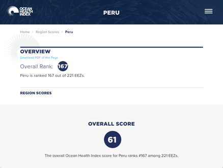
Ocean Health Index
FAO Aquastat
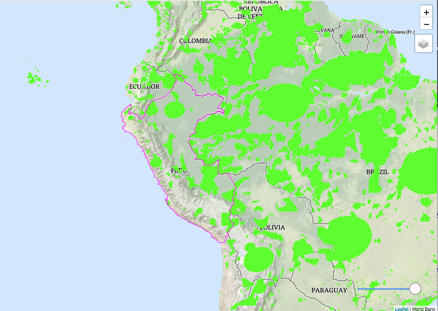
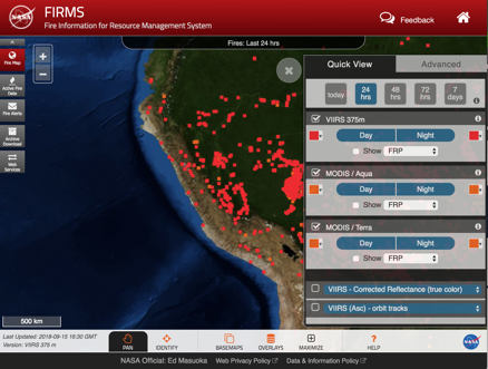
Fire Data
Air Quality
NDVI Animated
WorldPop
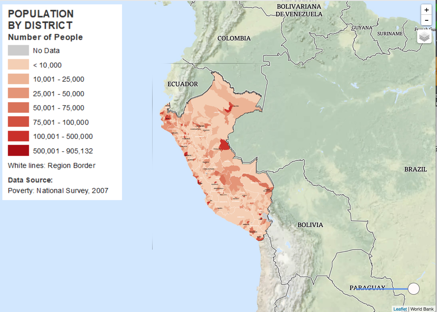
Population by District
Urban Population
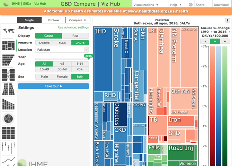
Global Burden of Disease
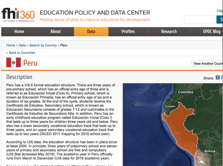
Education Data
Google Earth
City Centers
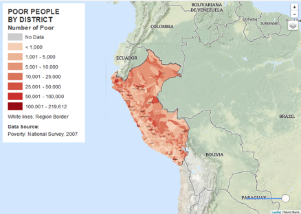
Poverty by District
Crop Land
Pasture
Roads
Dams
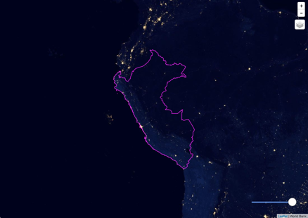
Night Lights
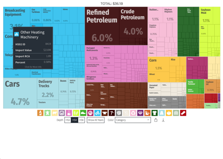
Exports
Imports
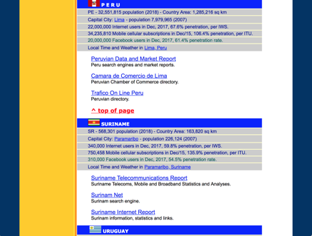
Internet Use
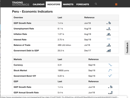
Economic Indicator Overview
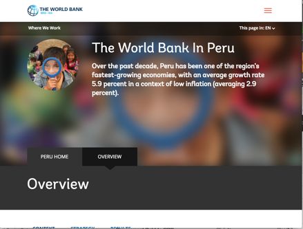
The World Bank in Peru
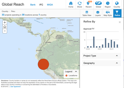
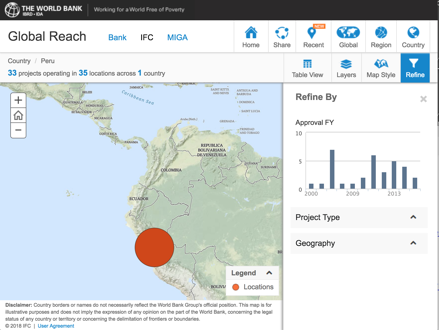
WBG Peru Portfolio (World Bank)
WBG Peru Portfolio (IFC)
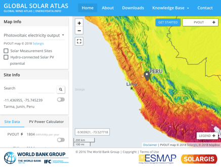
Renewable Energy Data
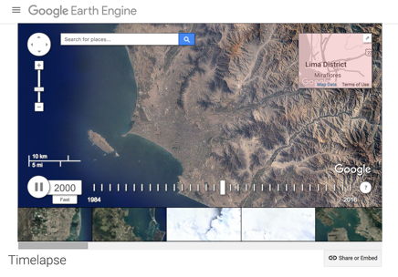
Satellite Timelapse
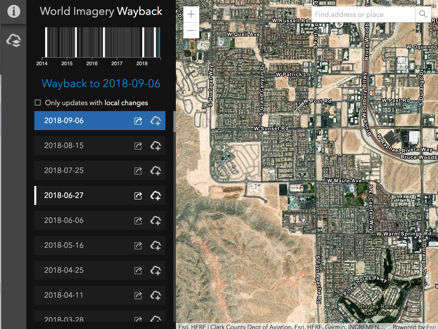
Global Hi-Res Imagery
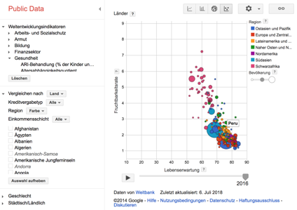
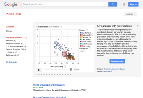
Public Data
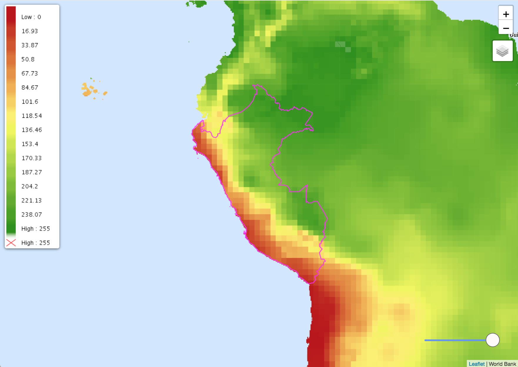
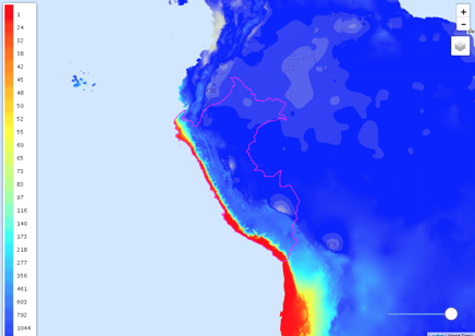
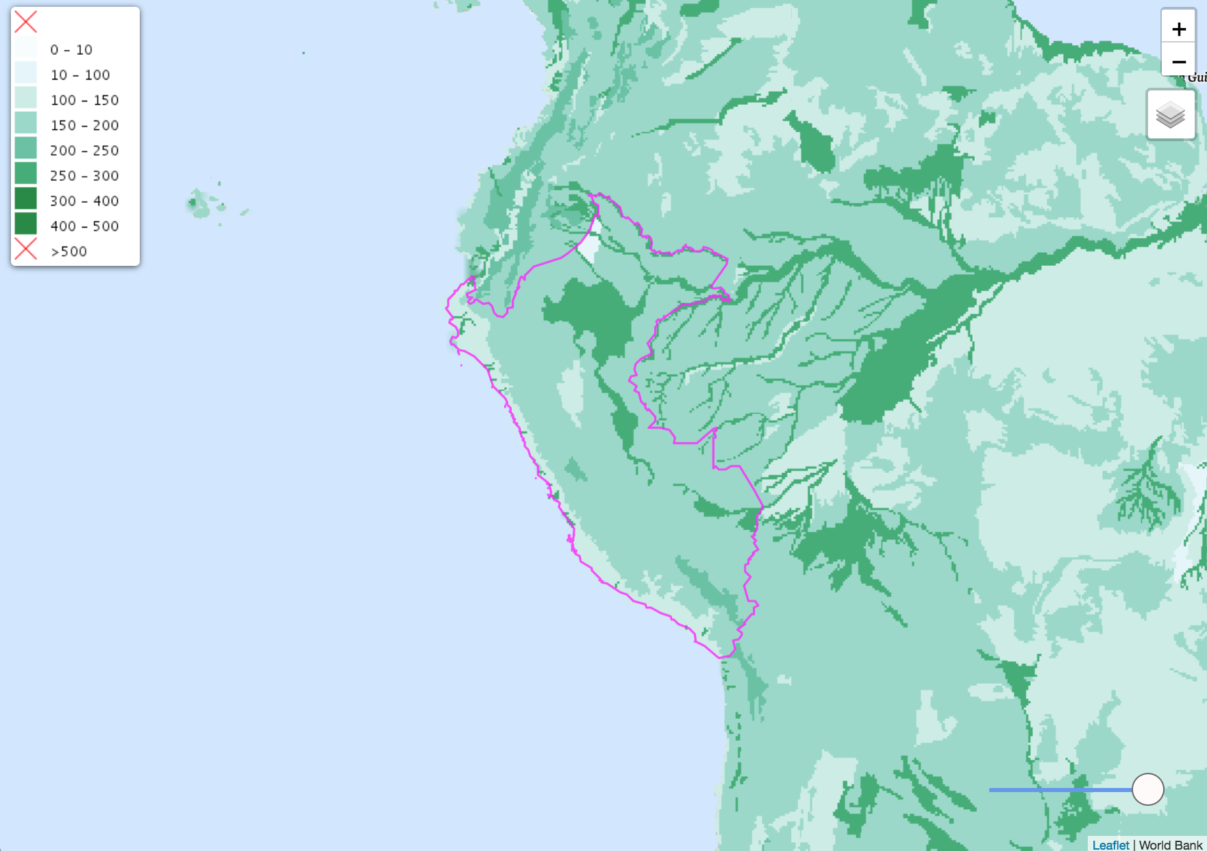
Annual Average Precipitation
Historical Precipitation
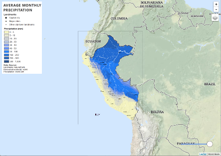
Average Monthly Precipitation
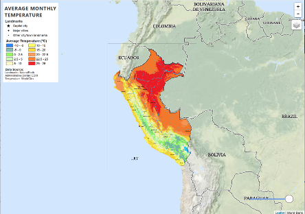
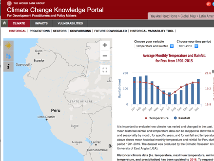
Average Monthly Temperature
Google Earth Engine Data
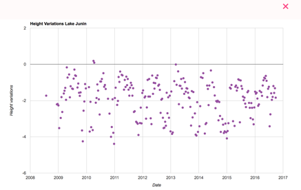
Lake Levels
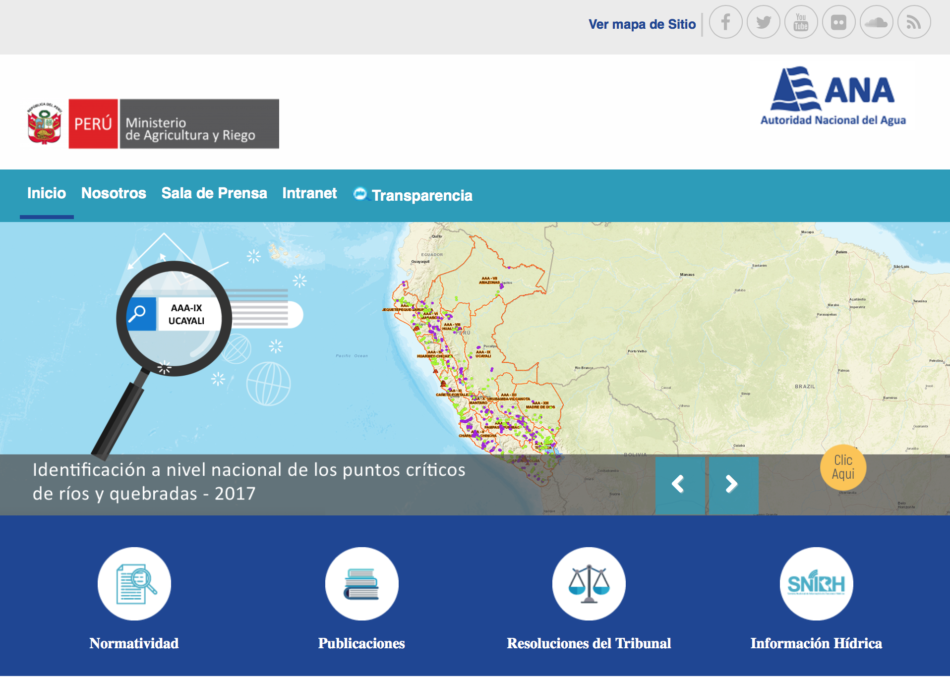
Autoridad National del Agua
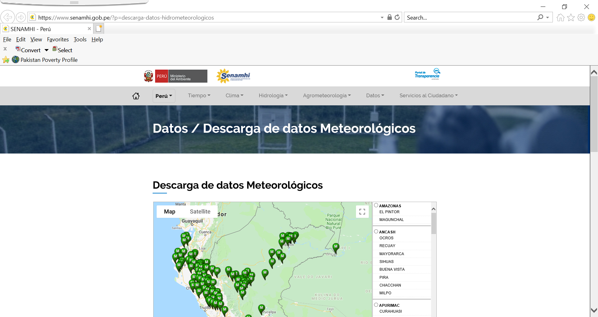
Hydrometeorological Data
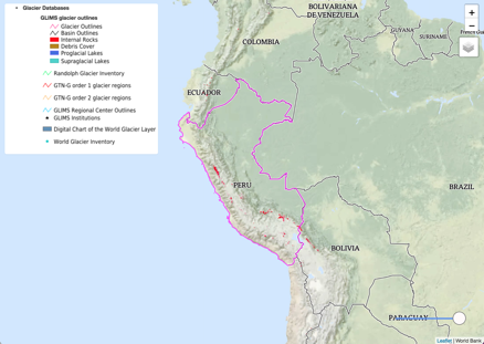
Glacier
Precipitation Accumulation
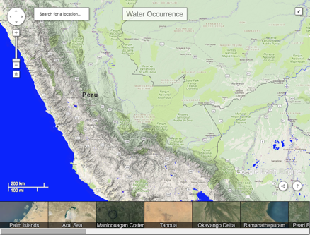
Surface Water Explorer
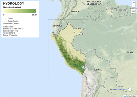
Hydrology
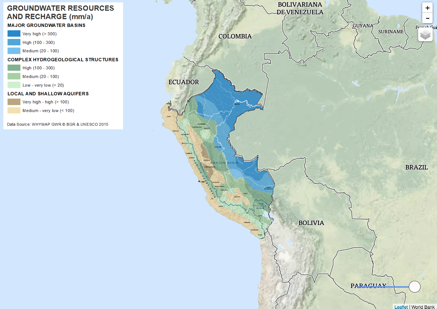
Groundwater
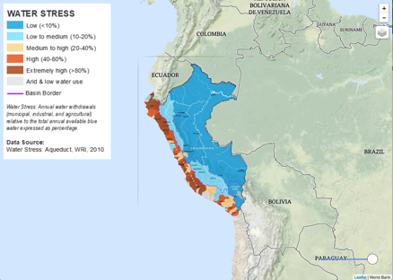
Water Stress
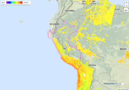
Land Surface Temperature
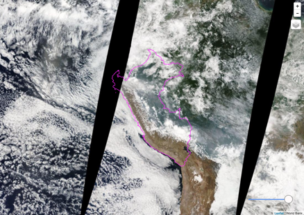
NASA Land Surface Reflectance
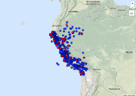
Climate Stations
Climate Profile
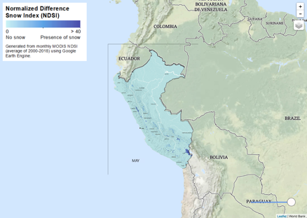
Snow Cover
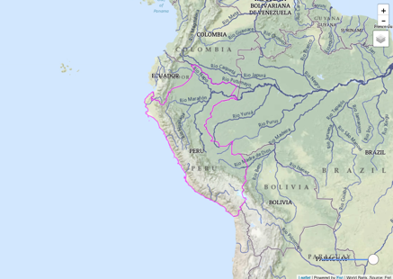
Hydrosheds (Rivers)
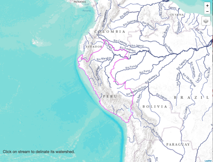
Watershed Creation
Basins
Maximum Soil Moisture
Available Water
Annual Evapotranspiration
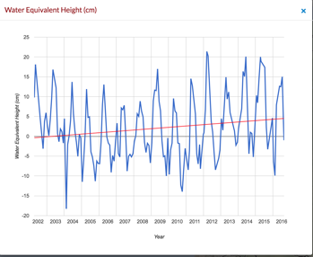
Grace: Water Equivalent Height
Flood Events
Flood Exposure
Drought Events
Drought Exposure
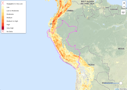
Landslides